 vesseltracker.com
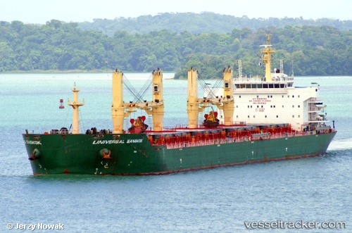
 XIN HAI TONG 67
Current Status
Where is the vessel?
XIN HAI TONG 67 is currently in Near Gwangyang, based on AIS data received less than 1h ago.
Latest AIS update:
Current position: 34.90754° N, 127.73072° E (Near Gwangyang)
Average speed (last 7 days): Loading…
Average speed (last 30 days): Loading…
Vessel profile: XIN HAI TONG 67 is a Cargo with dimensions m x m.
This page combines live AIS, route history, probable destination signals, nearby traffic, and port activity for practical vessel monitoring.
The current position of vessel XIN HAI TONG 67 is 34.90754 lat / 127.73072 lng. Updated: 2026-05-01 05:58:04 UTCNearest reference points:
- Near Gwangyang
- Near Sangam-dong
- Near Boseong-gun
Currently sailing under the flag of Marshall Islands ![]()
Details:
Live Vessel XIN HAI TONG 67 Analytics (details, animations, etc.)
Recent AIS points (UTC):
2026-05-01 01:46:05 UTC · 34.90754, 127.73077 · SOG 0 kn · COG 101°2026-05-01 03:28:01 UTC · 34.90759, 127.73066 · SOG 0 kn · COG 101°
2026-05-01 04:34:05 UTC · 34.90755, 127.73075 · SOG 0 kn · COG 102°
2026-05-01 05:58:04 UTC · 34.90754, 127.73072 · SOG 0 kn · COG 102°