 MAZU XIAO
Current Status
Where is the vessel?
MAZU XIAO is currently in 17 nm W of DJEN DJEN, based on AIS data received about 14h ago.
Latest AIS update:
Current position: 36.92032° N, 5.56132° E (17 nm W of DJEN DJEN)
Average speed (last 7 days): Loading…
Average speed (last 30 days): Loading…
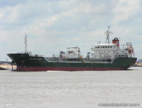
Vessel profile: MAZU XIAO is a Oil/Chemical Tanker with dimensions m x m.
This page combines live AIS, route history, probable destination signals, nearby traffic, and port activity for practical vessel monitoring.
The current position of vessel MAZU XIAO is 36.92032 lat / 5.56132 lng. Updated: 2026-06-09 14:20:32 UTCNearest reference points:
- Near Bejaia
- Near Carmona
- Near Skikid
Currently sailing under the flag of Liberia ![]()
Details:
Live Vessel MAZU XIAO Analytics (details, animations, etc.)
Recent AIS points (UTC):
2026-06-09 10:10:53 UTC · 36.91499, 5.49226 · SOG 0.9 kn · COG 200°2026-06-09 11:56:14 UTC · 36.91706, 5.52492 · SOG 0.8 kn · COG 213°
2026-06-09 13:24:24 UTC · 36.91860, 5.54944 · SOG 0.5 kn · COG 211°
2026-06-09 14:20:32 UTC · 36.92032, 5.56132 · SOG 0.4 kn · COG 204°