 HAV SAND
Current Status
Where is the vessel?
HAV SAND is currently in Near FUGLAFJORDUR, based on AIS data received about 14h ago.
Latest AIS update:
Current position: 62.23588° N, 6.80019° W (Near FUGLAFJORDUR)
Average speed (last 7 days): Loading…
Average speed (last 30 days): Loading…
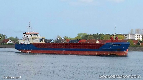
Vessel profile: HAV SAND is a General Cargo with dimensions m x m.
This page combines live AIS, route history, probable destination signals, nearby traffic, and port activity for practical vessel monitoring.
The current position of vessel HAV SAND is 62.23588 lat / -6.80019 lng. Updated: 2026-05-20 16:04:31 UTCNearest reference points:
- Near FUGLAFJORDUR
- Near VESTMANNA
- 20 nm S of Vágur
Details:
Live Vessel HAV SAND Analytics (details, animations, etc.)
Recent AIS points (UTC):
2026-05-20 11:40:20 UTC · 62.23587, -6.80015 · SOG 0 kn · COG 146°2026-05-20 13:22:21 UTC · 62.23589, -6.80016 · SOG 0 kn · COG 146°
2026-05-20 13:34:31 UTC · 62.23591, -6.80018 · SOG 0 kn · COG 146°
2026-05-20 16:04:31 UTC · 62.23588, -6.80019 · SOG 0 kn · COG 145°