 vesseltracker.com
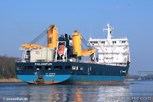
Amoenitas
Current StatusWhere is the vessel?
Amoenitas is currently in 55 nm E of Port Antonio, based on AIS data received less than 1h ago.
Latest AIS update:
Current position: 18.29014° N, 75.48751° W (55 nm E of Port Antonio)
Average speed (last 7 days): Loading…
Average speed (last 30 days): Loading…
Vessel profile: Amoenitas is a Heavy Load Carrier with dimensions 23m x 134m.
This page combines live AIS, route history, probable destination signals, nearby traffic, and port activity for practical vessel monitoring.
The current position of vessel Amoenitas is 18.29014 lat / -75.48751 lng. Updated: 2026-05-16 01:08:28 UTCNearest reference points:
- 16 nm SE of Ceiba Hueca
Details:
Live Vessel Amoenitas Analytics (details, animations, etc.)
Recent AIS points (UTC):
2026-05-15 21:58:46 UTC · 18.47033, -76.26829 · SOG 14.5 kn · COG 101°2026-05-15 22:14:23 UTC · 18.45718, -76.20306 · SOG 14.6 kn · COG 100°
2026-05-15 23:27:39 UTC · 18.38100, -75.90602 · SOG 14.6 kn · COG 105°
2026-05-16 01:08:28 UTC · 18.29014, -75.48751 · SOG 14.9 kn · COG 108°