 vesseltracker.com
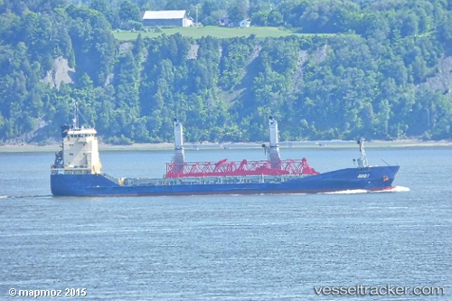
Juist
Current StatusWhere is the vessel?
Juist is currently in 34 nm N of MOCIMBOA DA PRAIA, based on AIS data received less than 1h ago.
Latest AIS update:
Current position: 10.80264° S, 40.55735° E (34 nm N of MOCIMBOA DA PRAIA)
Average speed (last 7 days): Loading…
Average speed (last 30 days): Loading…
Vessel profile: Juist is a Multi Purpose Carrier with dimensions 16m x 108m.
This page combines live AIS, route history, probable destination signals, nearby traffic, and port activity for practical vessel monitoring.
The current position of vessel Juist is -10.80264 lat / 40.55735 lng. Updated: 2026-05-15 00:15:16 UTCNearest reference points:
- Near Mtwara
- 64 nm NE of Mtwara
Details:
Live Vessel Juist Analytics (details, animations, etc.)
Recent AIS points (UTC):
2026-05-14 20:12:18 UTC · -10.80265, 40.55736 · SOG 0 kn · COG 44°2026-05-14 21:30:18 UTC · -10.80266, 40.55733 · SOG 0 kn · COG 43°
2026-05-14 22:39:14 UTC · -10.80267, 40.55733 · SOG 0 kn · COG 43°
2026-05-15 00:15:16 UTC · -10.80264, 40.55735 · SOG 0 kn · COG 43°