 ALMA DEL MAR
Current Status
Where is the vessel?
ALMA DEL MAR is currently in 20 nm W of Pichilingue, based on AIS data received about 15h ago.
Latest AIS update:
Current position: 24.39500° N, 110.67667° W (20 nm W of Pichilingue)
Average speed (last 7 days): Loading…
Average speed (last 30 days): Loading…
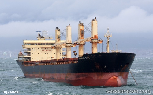
Vessel profile: ALMA DEL MAR is a General Cargo with dimensions m x m.
This page combines live AIS, route history, probable destination signals, nearby traffic, and port activity for practical vessel monitoring.
The current position of vessel ALMA DEL MAR is 24.39500 lat / -110.67667 lng. Updated: 2026-07-02 13:49:09 UTCNearest reference points:
- Near LA PAZ
- 73 nm W of Los Cabos
- 71 nm W of Los Cabos
Currently sailing under the flag of Mexico ![]()
Details:
Live Vessel ALMA DEL MAR Analytics (details, animations, etc.)
Recent AIS points (UTC):
2026-07-02 11:01:22 UTC · 24.39550, -110.67805 · SOG 0 kn · COG 340°2026-07-02 11:22:08 UTC · 24.39500, -110.67667 · SOG 0 kn · COG -1°
2026-07-02 13:31:09 UTC · 24.39500, -110.67667 · SOG 0 kn · COG -1°
2026-07-02 13:49:09 UTC · 24.39500, -110.67667 · SOG 0 kn · COG -1°