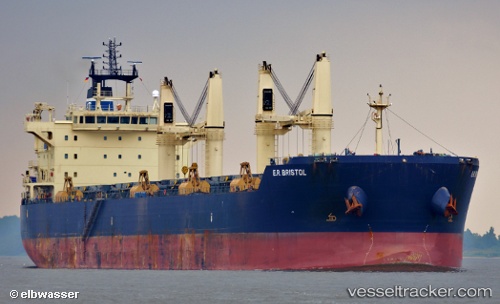
 BRISTOL
Current Status
Where is the vessel?
BRISTOL is currently in Near Tema, based on AIS data received about 14h ago.
Latest AIS update:
Current position: 5.62625° N, 0.01053° E (Near Tema)
Average speed (last 7 days): Loading…
Average speed (last 30 days): Loading…
Vessel profile: BRISTOL is a Bulk Carrier with dimensions m x m.
This page combines live AIS, route history, probable destination signals, nearby traffic, and port activity for practical vessel monitoring.
The current position of vessel BRISTOL is 5.62625 lat / 0.01053 lng. Updated: 2026-05-20 10:33:59 UTCNearest reference points:
- Near Ablogamé
- Near Sekondi
- Near Takoradi
Currently sailing under the flag of Liberia ![]()
Details:
Live Vessel BRISTOL Analytics (details, animations, etc.)
Recent AIS points (UTC):
2026-05-20 07:22:02 UTC · 5.62626, 0.01053 · SOG 0 kn · COG 235°2026-05-20 07:28:00 UTC · 5.62627, 0.01052 · SOG 0 kn · COG 235°
2026-05-20 09:51:59 UTC · 5.62628, 0.01051 · SOG 0 kn · COG 235°
2026-05-20 10:33:59 UTC · 5.62625, 0.01053 · SOG 0 kn · COG 235°