 CLIPPER KENT
Current Status
Where is the vessel?
CLIPPER KENT is currently in 148 nm SE of Porto Santo Island, based on AIS data received about 14h ago.
Latest AIS update:
Current position: 31.76465° N, 13.86023° W (148 nm SE of Porto Santo Island)
Average speed (last 7 days): Loading…
Average speed (last 30 days): Loading…
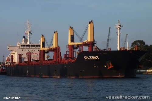
Vessel profile: CLIPPER KENT is a Bulk Carrier with dimensions 181m x 30m.
This page combines live AIS, route history, probable destination signals, nearby traffic, and port activity for practical vessel monitoring.
The current position of vessel CLIPPER KENT is 31.76465 lat / -13.86023 lng. Updated: 2026-05-20 00:07:45 UTCNearest reference points:
- 148 nm SE of Porto Santo Island
- 109 nm E of Porto Santo Island
- 83 nm N of Caleta de Sebo
Currently sailing under the flag of Marshall Islands ![]()
CLIPPER KENT built in 2012 year
Deadweight:
34003 tDetails:
Live Vessel CLIPPER KENT Analytics (details, animations, etc.)
Recent AIS points (UTC):
2026-05-19 19:48:08 UTC · 32.50820, -13.62713 · SOG 10.9 kn · COG 193°2026-05-19 22:10:55 UTC · 32.09965, -13.75460 · SOG 10.7 kn · COG 195°
2026-05-19 23:05:35 UTC · 31.94384, -13.80513 · SOG 10.6 kn · COG 195°
2026-05-20 00:07:45 UTC · 31.76465, -13.86023 · SOG 10.8 kn · COG 194°