 GEMMA
GEMMA
Current Status
Where is the vessel?
GEMMA is currently in 24 nm S of Jazireh-Ye Lavan, based on AIS data received about 15h ago.
Latest AIS update:
Current position: 26.41261° N, 53.48273° E (24 nm S of Jazireh-Ye Lavan)
Average speed (last 7 days): Loading…
Average speed (last 30 days): Loading…
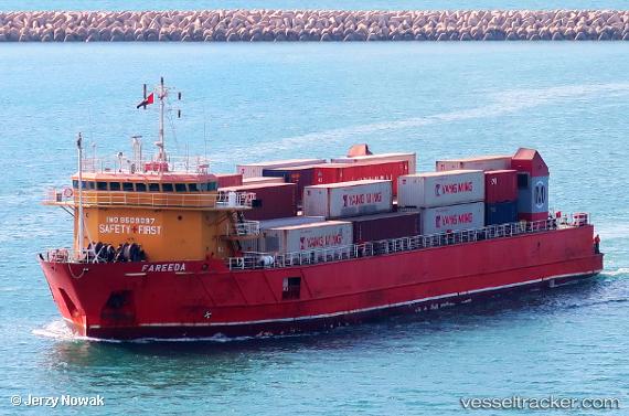
Vessel profile: GEMMA is a Deck Cargo Ship with dimensions m x m.
This page combines live AIS, route history, probable destination signals, nearby traffic, and port activity for practical vessel monitoring.
The current position of vessel GEMMA is 26.41261 lat / 53.48273 lng. Updated: 2026-05-20 17:17:34 UTCNearest reference points:
- Near Jazireh-Ye Lavan
- 21 nm NE of Halul Island
- 11 nm SW of Fateh Terminal
Currently sailing under the flag of Palau (Republic of) ![]()
GEMMA built in 2011 year
Deadweight:
4508 tDetails:
Live Vessel GEMMA Analytics (details, animations, etc.)
Recent AIS points (UTC):
2026-05-20 14:11:32 UTC · 26.43174, 53.56682 · SOG 1.6 kn · COG 254°2026-05-20 15:02:24 UTC · 26.42610, 53.54369 · SOG 1.5 kn · COG 253°
2026-05-20 16:29:28 UTC · 26.41716, 53.50448 · SOG 1.4 kn · COG 254°
2026-05-20 17:17:34 UTC · 26.41261, 53.48273 · SOG 1.4 kn · COG 260°