 vesseltracker.com
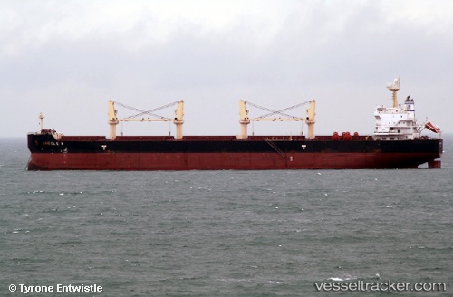
 ANGELE N
Current Status
Where is the vessel?
ANGELE N is currently in 32 nm N of Phú Bai, based on AIS data received about 19h ago.
Latest AIS update:
Current position: 16.88400° N, 107.84950° E (32 nm N of Phú Bai)
Average speed (last 7 days): Loading…
Average speed (last 30 days): Loading…
Vessel profile: ANGELE N is a Bulk Carrier with dimensions m x m.
This page combines live AIS, route history, probable destination signals, nearby traffic, and port activity for practical vessel monitoring.
The current position of vessel ANGELE N is 16.88400 lat / 107.84950 lng. Updated: 2026-05-17 19:33:49 UTCNearest reference points:
- 48 nm NE of Cua Viet Port
- Near Hai Son
- 61 nm E of Hon La Port
Currently sailing under the flag of Marshall Islands ![]()
Details:
Live Vessel ANGELE N Analytics (details, animations, etc.)
Recent AIS points (UTC):
2026-05-17 19:33:49 UTC · 16.88400, 107.84950 · SOG 10 kn · COG 321°2026-05-17 19:33:49 UTC · 16.88400, 107.84950 · SOG 10 kn · COG 321°
2026-05-17 19:33:49 UTC · 16.88400, 107.84950 · SOG 10 kn · COG 321°
2026-05-17 19:33:49 UTC · 16.88400, 107.84950 · SOG 10 kn · COG 321°