 vesseltracker.com
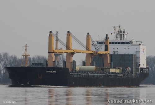
 LILAC ROLLER
Current Status
Where is the vessel?
LILAC ROLLER is currently in 144 nm W of Port Etienne, based on AIS data received about 14h ago.
Latest AIS update:
Current position: 20.97002° N, 19.61971° W (144 nm W of Port Etienne)
Average speed (last 7 days): Loading…
Average speed (last 30 days): Loading…
Vessel profile: LILAC ROLLER is a General Cargo with dimensions m x m.
This page combines live AIS, route history, probable destination signals, nearby traffic, and port activity for practical vessel monitoring.
The current position of vessel LILAC ROLLER is 20.97002 lat / -19.61971 lng. Updated: 2026-05-18 04:47:53 UTCNearest reference points:
- 41 nm NW of Nouadhibou
- 176 nm NE of Ilha do Sal
- 108 nm SW of Port Etienne
Currently sailing under the flag of Marshall Islands ![]()
Details:
Live Vessel LILAC ROLLER Analytics (details, animations, etc.)
Recent AIS points (UTC):
2026-05-18 01:30:11 UTC · 21.60970, -19.22196 · SOG 13.2 kn · COG 210°2026-05-18 01:30:11 UTC · 21.60970, -19.22196 · SOG 13.2 kn · COG 210°
2026-05-18 04:11:12 UTC · 21.09170, -19.56058 · SOG 13.5 kn · COG 210°
2026-05-18 04:47:53 UTC · 20.97002, -19.61971 · SOG 13.1 kn · COG 177°