 vesseltracker.com
 LETA
LETA
Current Status
Where is the vessel?
LETA is currently in Near Yilport, based on AIS data received less than 1h ago.
Latest AIS update:
Current position: 40.77044° N, 29.54990° E (Near Yilport)
Average speed (last 7 days): Loading…
Average speed (last 30 days): Loading…
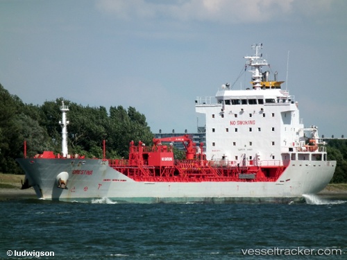
Vessel profile: LETA is a Chemical/Oil Products Tanker with dimensions 118m x 18m.
This page combines live AIS, route history, probable destination signals, nearby traffic, and port activity for practical vessel monitoring.
The current position of vessel LETA is 40.77044 lat / 29.54990 lng. Updated: 2026-05-15 18:12:22 UTCNearest reference points:
- Near Yilport
- Near Diliskelesi
- Near YALOVA
Currently sailing under the flag of Turkey ![]()
LETA built in 2009 year
Deadweight:
9152 tDetails:
Live Vessel LETA Analytics (details, animations, etc.)
Recent AIS points (UTC):
2026-05-15 14:00:28 UTC · 40.77049, 29.54987 · SOG 0 kn · COG 57°2026-05-15 15:59:22 UTC · 40.77047, 29.54987 · SOG 0 kn · COG 57°
2026-05-15 17:00:22 UTC · 40.77046, 29.54987 · SOG 0 kn · COG 58°
2026-05-15 18:12:22 UTC · 40.77044, 29.54990 · SOG 0 kn · COG 57°