 ALKYON
Current Status
Where is the vessel?
ALKYON is currently in 12 nm S of Kumport, based on AIS data received about 14h ago.
Latest AIS update:
Current position: 40.75557° N, 28.79655° E (12 nm S of Kumport)
Average speed (last 7 days): Loading…
Average speed (last 30 days): Loading…
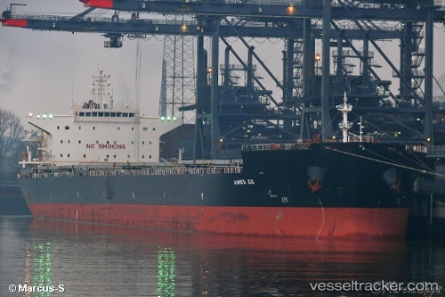
Vessel profile: ALKYON is a Bulk Carrier with dimensions 36m x 229m.
This page combines live AIS, route history, probable destination signals, nearby traffic, and port activity for practical vessel monitoring.
The current position of vessel ALKYON is 40.75557 lat / 28.79655 lng. Updated: 2026-06-17 13:45:48 UTCNearest reference points:
- 16 nm S of Kumport
- 17 nm S of Kumport
- Near Kumport
Currently sailing under the flag of Panama ![]()
ALKYON built in 2011 year
Deadweight:
87450 tDetails:
Live Vessel ALKYON Analytics (details, animations, etc.)
Recent AIS points (UTC):
2026-06-17 10:14:38 UTC · 40.76970, 28.16997 · SOG 11.8 kn · COG 82°2026-06-17 12:09:57 UTC · 40.81308, 28.66488 · SOG 11.1 kn · COG 110°
2026-06-17 13:05:47 UTC · 40.77132, 28.80263 · SOG 1.4 kn · COG 124°
2026-06-17 13:45:48 UTC · 40.75557, 28.79655 · SOG 1.5 kn · COG 109°