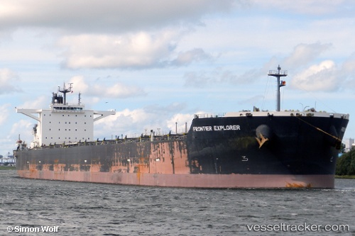
 FRONTIER EXPLORER
Current Status
Where is the vessel?
FRONTIER EXPLORER is currently in 76 nm W of Terempa, based on AIS data received about 14h ago.
Latest AIS update:
Current position: 2.78965° N, 105.01668° E (76 nm W of Terempa)
Average speed (last 7 days): Loading…
Average speed (last 30 days): Loading…
Vessel profile: FRONTIER EXPLORER is a Bulk Carrier with dimensions m x m.
This page combines live AIS, route history, probable destination signals, nearby traffic, and port activity for practical vessel monitoring.
The current position of vessel FRONTIER EXPLORER is 2.78965 lat / 105.01668 lng. Updated: 2026-06-11 17:32:51 UTCNearest reference points:
- 80 nm SW of Terempa
- 64 nm NE of PENGERANG
- 53 nm NE of PENGERANG
Currently sailing under the flag of Japan ![]()
Details:
Live Vessel FRONTIER EXPLORER Analytics (details, animations, etc.)
Recent AIS points (UTC):
2026-06-11 16:03:52 UTC · 3.07333, 105.05833 · SOG 11 kn · COG -1°2026-06-11 16:03:52 UTC · 3.07333, 105.05833 · SOG 11 kn · COG -1°
2026-06-11 17:32:51 UTC · 2.78965, 105.01668 · SOG 11.6 kn · COG 182°
2026-06-11 17:32:51 UTC · 2.78965, 105.01668 · SOG 11.6 kn · COG 182°