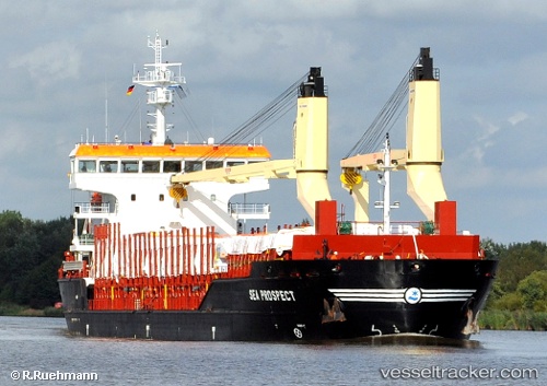
 SEA PROSPECT
Current Status
Where is the vessel?
SEA PROSPECT is currently in 16 nm N of Hijum, based on AIS data received about 14h ago.
Latest AIS update:
Current position: 53.54307° N, 4.91465° E (16 nm N of Hijum)
Average speed (last 7 days): Loading…
Average speed (last 30 days): Loading…
Vessel profile: SEA PROSPECT is a General Cargo with dimensions m x m.
This page combines live AIS, route history, probable destination signals, nearby traffic, and port activity for practical vessel monitoring.
The current position of vessel SEA PROSPECT is 53.54307 lat / 4.91465 lng. Updated: 2026-05-20 13:16:34 UTCNearest reference points:
- Near de Waal
- Near Molengat
- Near OUDESCHILD
Currently sailing under the flag of Portugal ![]()
Details:
Live Vessel SEA PROSPECT Analytics (details, animations, etc.)
Recent AIS points (UTC):
2026-05-20 09:36:40 UTC · 53.74285, 5.88033 · SOG 9.1 kn · COG -1°2026-05-20 10:21:05 UTC · 53.70493, 5.70082 · SOG 9.1 kn · COG -1°
2026-05-20 11:51:04 UTC · 53.62775, 5.31523 · SOG 10.1 kn · COG 252°
2026-05-20 13:16:34 UTC · 53.54307, 4.91465 · SOG 11 kn · COG 249°