 LIMARKO BREEZE
Current Status
Where is the vessel?
LIMARKO BREEZE is currently in Near Kamaterón, based on AIS data received about 14h ago.
Latest AIS update:
Current position: 37.89296° N, 23.54803° E (Near Kamaterón)
Average speed (last 7 days): Loading…
Average speed (last 30 days): Loading…
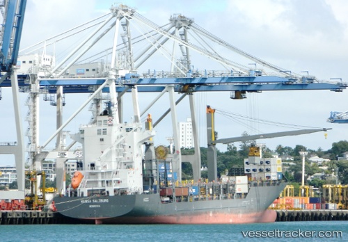
Vessel profile: LIMARKO BREEZE is a Container Ship with dimensions m x m.
This page combines live AIS, route history, probable destination signals, nearby traffic, and port activity for practical vessel monitoring.
The current position of vessel LIMARKO BREEZE is 37.89296 lat / 23.54803 lng. Updated: 2026-05-20 01:50:23 UTCNearest reference points:
- Near PERAMA
- Near Drapetzona
- Near Keratsínion
Currently sailing under the flag of Lithuania ![]()
Details:
Live Vessel LIMARKO BREEZE Analytics (details, animations, etc.)
Recent AIS points (UTC):
2026-05-19 22:32:17 UTC · 37.89292, 23.54657 · SOG 0.1 kn · COG 12°2026-05-19 23:44:25 UTC · 37.89298, 23.54791 · SOG 0.3 kn · COG 345°
2026-05-20 01:22:26 UTC · 37.89307, 23.54813 · SOG 0.1 kn · COG 329°
2026-05-20 01:50:23 UTC · 37.89296, 23.54803 · SOG 0.2 kn · COG 331°