 DONNA JUDI
Current Status
Where is the vessel?
DONNA JUDI is currently in 12 nm NW of Naissaare, based on AIS data received about 14h ago.
Latest AIS update:
Current position: 59.70609° N, 24.30606° E (12 nm NW of Naissaare)
Average speed (last 7 days): Loading…
Average speed (last 30 days): Loading…
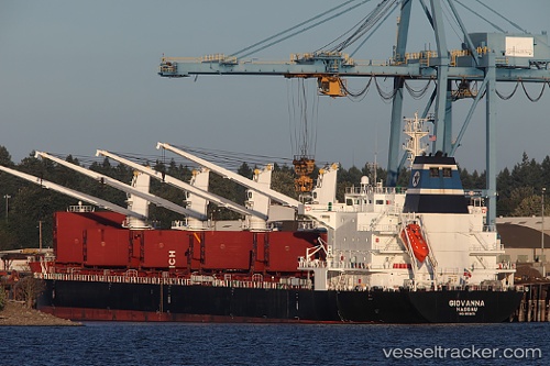
Vessel profile: DONNA JUDI is a Bulk Carrier with dimensions 181m x 181m.
This page combines live AIS, route history, probable destination signals, nearby traffic, and port activity for practical vessel monitoring.
The current position of vessel DONNA JUDI is 59.70609 lat / 24.30606 lng. Updated: 2026-07-14 01:50:45 UTCNearest reference points:
- Near Aegna
- Near Nurme
- Near Vanasadam
Currently sailing under the flag of St Vincent and Grenadines ![]()
DONNA JUDI built in 2011 year
Deadweight:
34146 tDetails:
Live Vessel DONNA JUDI Analytics (details, animations, etc.)
Recent AIS points (UTC):
2026-07-13 22:24:05 UTC · 59.47808, 23.02682 · SOG 12.1 kn · COG 68°2026-07-13 22:55:46 UTC · 59.51620, 23.22138 · SOG 12.1 kn · COG 71°
2026-07-13 23:24:16 UTC · 59.54787, 23.39986 · SOG 12.1 kn · COG 71°
2026-07-14 01:50:45 UTC · 59.70609, 24.30606 · SOG 11.5 kn · COG 71°