 STAR TAISHAN
Current Status
Where is the vessel?
STAR TAISHAN is currently in 16 nm W of Saint-Clément-des-Baleines, based on AIS data received about 14h ago.
Latest AIS update:
Current position: 46.13568° N, 1.90640° W (16 nm W of Saint-Clément-des-Baleines)
Average speed (last 7 days): Loading…
Average speed (last 30 days): Loading…
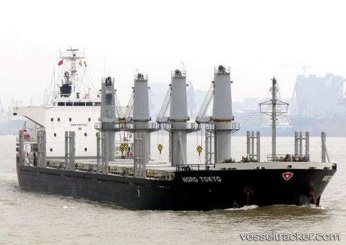
Vessel profile: STAR TAISHAN is a Bulk Carrier with dimensions m x m.
This page combines live AIS, route history, probable destination signals, nearby traffic, and port activity for practical vessel monitoring.
The current position of vessel STAR TAISHAN is 46.13568 lat / -1.90640 lng. Updated: 2026-07-06 23:16:49 UTCNearest reference points:
- Near LES SABLES D OLONNE
- 17 nm S of L'Île-d'Yeu
- Near Saint-Gilles-Croix-de-Vie
Currently sailing under the flag of Panama ![]()
Details:
Live Vessel STAR TAISHAN Analytics (details, animations, etc.)
Recent AIS points (UTC):
2026-07-06 18:55:54 UTC · 46.13541, -1.90400 · SOG 0.3 kn · COG 343°2026-07-06 21:13:51 UTC · 46.13536, -1.90508 · SOG 0.1 kn · COG 8°
2026-07-06 21:51:26 UTC · 46.13500, -1.90500 · SOG 0 kn · COG -1°
2026-07-06 23:16:49 UTC · 46.13568, -1.90640 · SOG 0.3 kn · COG 35°