 TAKUTAI CHIEF
Current Status
Where is the vessel?
TAKUTAI CHIEF is currently in 107 nm E of Tiga, based on AIS data received about 14h ago.
Latest AIS update:
Current position: 21.19782° S, 169.71600° E (107 nm E of Tiga)
Average speed (last 7 days): Loading…
Average speed (last 30 days): Loading…
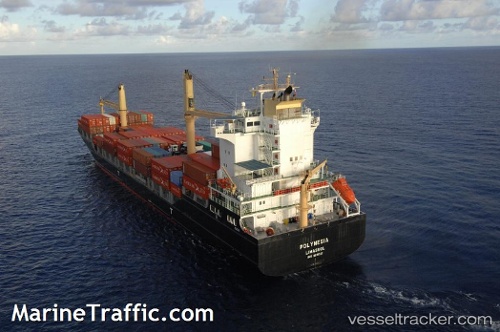
Vessel profile: TAKUTAI CHIEF is a Container Ship with dimensions m x m.
This page combines live AIS, route history, probable destination signals, nearby traffic, and port activity for practical vessel monitoring.
The current position of vessel TAKUTAI CHIEF is -21.19782 lat / 169.71600 lng. Updated: 2026-05-20 13:54:59 UTCNearest reference points:
- 39 nm E of Ouvea
Currently sailing under the flag of Singapore ![]()
Details:
Live Vessel TAKUTAI CHIEF Analytics (details, animations, etc.)
Recent AIS points (UTC):
2026-05-20 10:08:59 UTC · -21.37259, 169.30185 · SOG 6.4 kn · COG 66°2026-05-20 12:22:25 UTC · -21.27072, 169.53749 · SOG 6.4 kn · COG 63°
2026-05-20 13:31:15 UTC · -21.21627, 169.66840 · SOG 7.5 kn · COG 65°
2026-05-20 13:54:59 UTC · -21.19782, 169.71600 · SOG 7.1 kn · COG 66°