 SHARK ISLAND
Current Status
Where is the vessel?
SHARK ISLAND is currently in 35 nm E of Costa Teguise, based on AIS data received about 15h ago.
Latest AIS update:
Current position: 28.87272° N, 12.83783° W (35 nm E of Costa Teguise)
Average speed (last 7 days): Loading…
Average speed (last 30 days): Loading…
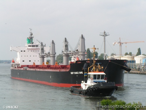
Vessel profile: SHARK ISLAND is a Bulk Carrier with dimensions m x m.
This page combines live AIS, route history, probable destination signals, nearby traffic, and port activity for practical vessel monitoring.
The current position of vessel SHARK ISLAND is 28.87272 lat / -12.83783 lng. Updated: 2026-05-20 07:29:36 UTCNearest reference points:
- Near Lanzarote
- Near LAS COLORADAS
- 84 nm NE of ORZOLA
Currently sailing under the flag of Singapore ![]()
Details:
Live Vessel SHARK ISLAND Analytics (details, animations, etc.)
Recent AIS points (UTC):
2026-05-20 04:32:50 UTC · 29.33167, -12.48500 · SOG 10 kn · COG -1°2026-05-20 05:52:57 UTC · 29.12746, -12.64371 · SOG 11.2 kn · COG 212°
2026-05-20 07:23:20 UTC · 28.88945, -12.82485 · SOG 11.3 kn · COG 212°
2026-05-20 07:29:36 UTC · 28.87272, -12.83783 · SOG 11.4 kn · COG 213°