 GABRIELLA
Current Status
Where is the vessel?
GABRIELLA is currently in 161 nm NE of Corcos, based on AIS data received about 14h ago.
Latest AIS update:
Current position: 43.23112° N, 41.09508° W (161 nm NE of Corcos)
Average speed (last 7 days): Loading…
Average speed (last 30 days): Loading…
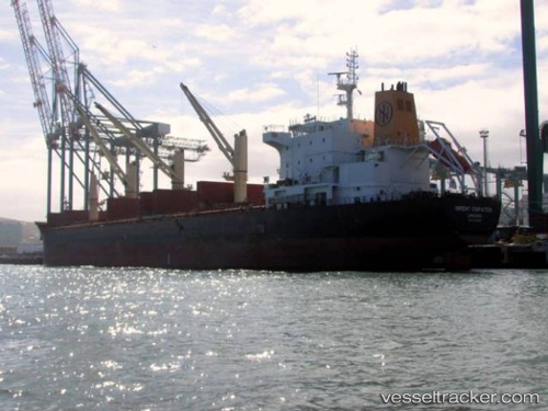
Vessel profile: GABRIELLA is a Bulk Carrier with dimensions 183m x 183m.
This page combines live AIS, route history, probable destination signals, nearby traffic, and port activity for practical vessel monitoring.
The current position of vessel GABRIELLA is 43.23112 lat / -41.09508 lng. Updated: 2026-05-19 21:28:38 UTCCurrently sailing under the flag of Marshall Islands ![]()
GABRIELLA built in 2013 year
Deadweight:
36887 tDetails:
Live Vessel GABRIELLA Analytics (details, animations, etc.)
Recent AIS points (UTC):
2026-05-19 17:49:31 UTC · 43.05983, -41.87477 · SOG 9.8 kn · COG 68°2026-05-19 19:10:10 UTC · 43.11167, -41.58333 · SOG 10 kn · COG -1°
2026-05-19 19:45:44 UTC · 43.11993, -41.45953 · SOG 10.6 kn · COG 65°
2026-05-19 21:28:38 UTC · 43.23112, -41.09508 · SOG 9.7 kn · COG 64°