 ROSEMARY I
Current Status
Where is the vessel?
ROSEMARY I is currently in 148 nm W of LHOKNGA, based on AIS data received about 14h ago.
Latest AIS update:
Current position: 5.43833° N, 92.76333° E (148 nm W of LHOKNGA)
Average speed (last 7 days): Loading…
Average speed (last 30 days): Loading…
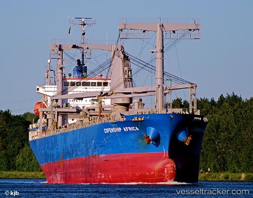
Vessel profile: ROSEMARY I is a General Cargo Ship with dimensions 20m x 124m.
This page combines live AIS, route history, probable destination signals, nearby traffic, and port activity for practical vessel monitoring.
The current position of vessel ROSEMARY I is 5.43833 lat / 92.76333 lng. Updated: 2026-05-25 13:34:12 UTCNearest reference points:
- 172 nm W of LHOKNGA
- 160 nm W of Sebang
- 80 nm W of Sebang
Currently sailing under the flag of Panama ![]()
ROSEMARY I built in 2010 year
Deadweight:
13325 tDetails:
Live Vessel ROSEMARY I Analytics (details, animations, etc.)
Recent AIS points (UTC):
2026-05-25 10:13:10 UTC · 5.33167, 92.26167 · SOG 9 kn · COG -1°2026-05-25 10:25:14 UTC · 5.33833, 92.29167 · SOG 9 kn · COG -1°
2026-05-25 10:58:11 UTC · 5.35500, 92.37500 · SOG 8 kn · COG -1°
2026-05-25 13:34:12 UTC · 5.43833, 92.76333 · SOG 9 kn · COG -1°