 SONATA
Current Status
Where is the vessel?
SONATA is currently in 11 nm SE of Gibraltar, based on AIS data received about 14h ago.
Latest AIS update:
Current position: 35.96833° N, 6.26333° W (11 nm SE of Gibraltar)
Average speed (last 7 days): Loading…
Average speed (last 30 days): Loading…
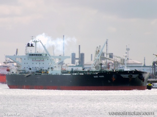
Vessel profile: SONATA is a Crude Oil Tanker with dimensions m x m.
This page combines live AIS, route history, probable destination signals, nearby traffic, and port activity for practical vessel monitoring.
The current position of vessel SONATA is 35.96833 lat / -6.26333 lng. Updated: 2026-05-21 01:50:13 UTCNearest reference points:
- Near Gibraltar
- Near Conil de la Frontera
- Near Cadiz
Currently sailing under the flag of Russia ![]()
Details:
Live Vessel SONATA Analytics (details, animations, etc.)
Recent AIS points (UTC):
2026-05-20 22:12:20 UTC · 36.04691, -5.26030 · SOG 12.6 kn · COG 256°2026-05-21 00:15:56 UTC · 35.96659, -5.77293 · SOG 15.4 kn · COG 269°
2026-05-21 01:06:18 UTC · 35.96954, -6.03579 · SOG 15 kn · COG 268°
2026-05-21 01:50:13 UTC · 35.96833, -6.26333 · SOG 15 kn · COG -1°