 WEDYAN
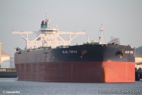
Current Status
Where is the vessel?
WEDYAN is currently in Near Yanbu, based on AIS data received about 15h ago.
Latest AIS update:
Current position: 24.05262° N, 38.01994° E (Near Yanbu)
Average speed (last 7 days): Loading…
Average speed (last 30 days): Loading…
Vessel profile: WEDYAN is a Crude Oil Tanker with dimensions m x m.
This page combines live AIS, route history, probable destination signals, nearby traffic, and port activity for practical vessel monitoring.
The current position of vessel WEDYAN is 24.05262 lat / 38.01994 lng. Updated: 2026-06-11 23:42:02 UTCNearest reference points:
- 30 nm SW of Yanbu
- 35 nm S of Umm Lajj
- 42 nm NW of Fiji
Currently sailing under the flag of Saudi Arabia ![]()
Details:
Live Vessel WEDYAN Analytics (details, animations, etc.)
Recent AIS points (UTC):
2026-06-11 20:07:47 UTC · 23.93560, 38.23694 · SOG 0 kn · COG 299°2026-06-11 22:04:00 UTC · 23.93720, 38.23072 · SOG 3.2 kn · COG 264°
2026-06-11 23:13:10 UTC · 23.97984, 38.10093 · SOG 12.6 kn · COG 325°
2026-06-11 23:42:02 UTC · 24.05262, 38.01994 · SOG 13.1 kn · COG 295°