 vesseltracker.com
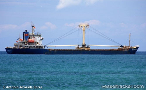
An Thinh Phu 08
Current StatusWhere is the vessel?
An Thinh Phu 08 is currently in Near Dong Xuyen Port, based on AIS data received about 4d ago.
Latest AIS update:
Current position: 10.38178° N, 107.18323° E (Near Dong Xuyen Port)
Average speed (last 7 days): Loading…
Average speed (last 30 days): Loading…
Vessel profile: An Thinh Phu 08 is a General Cargo Ship with dimensions 18m x 104m.
This page combines live AIS, route history, probable destination signals, nearby traffic, and port activity for practical vessel monitoring.
The current position of vessel An Thinh Phu 08 is 10.38178 lat / 107.18323 lng. Updated: 2026-05-14 00:32:14 UTCNearest reference points:
- Near Dong Xuyen Port
- Near Bà Ria
- Near Cape St. Jacques
Details:
Live Vessel An Thinh Phu 08 Analytics (details, animations, etc.)
Recent AIS points (UTC):
2026-05-14 00:32:14 UTC · 10.38178, 107.18323 · SOG 0 kn · COG -1°2026-05-14 00:32:14 UTC · 10.38178, 107.18323 · SOG 0 kn · COG -1°
2026-05-14 00:32:14 UTC · 10.38178, 107.18323 · SOG 0 kn · COG -1°
2026-05-14 00:32:14 UTC · 10.38178, 107.18323 · SOG 0 kn · COG -1°