 Hong Linh 1
Current Status
Where is the vessel?
Hong Linh 1 is currently in 122 nm W of Bolinao, based on AIS data received about 14h ago.
Latest AIS update:
Current position: 15.93987° N, 117.80965° E (122 nm W of Bolinao)
Average speed (last 7 days): Loading…
Average speed (last 30 days): Loading…
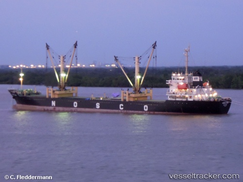
Vessel profile: Hong Linh 1 is a General Cargo Ship with dimensions 136m x 20m.
This page combines live AIS, route history, probable destination signals, nearby traffic, and port activity for practical vessel monitoring.
The current position of vessel Hong Linh 1 is 15.93987 lat / 117.80965 lng. Updated: 2026-05-19 03:58:10 UTCNearest reference points:
- 138 nm NW of Bolinao
- 34 nm W of Iba
- 222 nm W of Iba
Currently sailing under the flag of Vietnam ![]()
Hong Linh 1 built in 2008 year
Deadweight:
13291 tDetails:
Live Vessel Hong Linh 1 Analytics (details, animations, etc.)
Recent AIS points (UTC):
2026-05-19 01:57:59 UTC · 15.78260, 118.07765 · SOG 8.8 kn · COG -1°2026-05-19 01:57:59 UTC · 15.78260, 118.07765 · SOG 8.8 kn · COG -1°
2026-05-19 03:34:08 UTC · 15.90957, 117.86295 · SOG 9 kn · COG -1°
2026-05-19 03:58:10 UTC · 15.93987, 117.80965 · SOG 8.8 kn · COG -1°