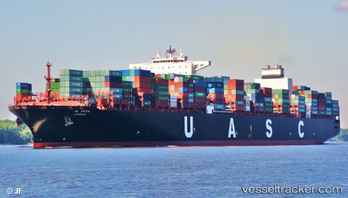
 AL RIFFA
Current Status
Where is the vessel?
AL RIFFA is currently in 189 nm E of Vilanculos, based on AIS data received about 14h ago.
Latest AIS update:
Current position: 21.54578° S, 38.62533° E (189 nm E of Vilanculos)
Average speed (last 7 days): Loading…
Average speed (last 30 days): Loading…
Vessel profile: AL RIFFA is a Container Ship with dimensions m x m.
This page combines live AIS, route history, probable destination signals, nearby traffic, and port activity for practical vessel monitoring.
The current position of vessel AL RIFFA is -21.54578 lat / 38.62533 lng. Updated: 2026-05-19 17:30:46 UTCNearest reference points:
- 229 nm SE of Quelimane
Currently sailing under the flag of Liberia ![]()
Details:
Live Vessel AL RIFFA Analytics (details, animations, etc.)
Recent AIS points (UTC):
2026-05-19 14:25:10 UTC · -20.77032, 39.13512 · SOG 18.3 kn · COG 213°2026-05-19 16:02:22 UTC · -21.18087, 38.85989 · SOG 17.4 kn · COG 210°
2026-05-19 16:44:16 UTC · -21.35535, 38.75104 · SOG 17.2 kn · COG 210°
2026-05-19 17:30:46 UTC · -21.54578, 38.62533 · SOG 17.2 kn · COG 212°