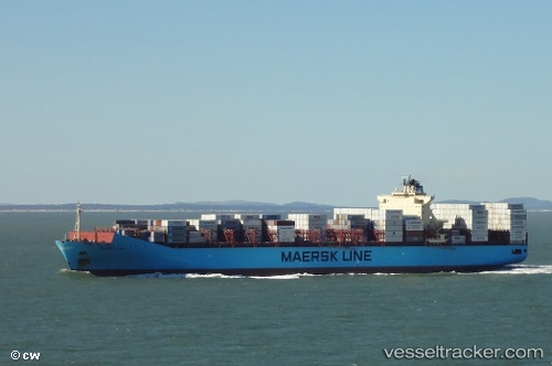
 MAERSK LEBU
Current Status
Where is the vessel?
MAERSK LEBU is currently in Near Lome, based on AIS data received about 15h ago.
Latest AIS update:
Current position: 6.00996° N, 1.30420° E (Near Lome)
Average speed (last 7 days): Loading…
Average speed (last 30 days): Loading…
Vessel profile: MAERSK LEBU is a Container Ship with dimensions m x m.
This page combines live AIS, route history, probable destination signals, nearby traffic, and port activity for practical vessel monitoring.
The current position of vessel MAERSK LEBU is 6.00996 lat / 1.30420 lng. Updated: 2026-05-21 04:28:36 UTCNearest reference points:
- Near Ablogamé
- Near Cotonou
- Near Kirikiri
Currently sailing under the flag of Denmark ![]()
Details:
Live Vessel MAERSK LEBU Analytics (details, animations, etc.)
Recent AIS points (UTC):
2026-05-21 01:22:36 UTC · 6.01039, 1.30370 · SOG 0 kn · COG 202°2026-05-21 01:31:40 UTC · 6.01035, 1.30381 · SOG 0.1 kn · COG 207°
2026-05-21 04:01:37 UTC · 6.01012, 1.30404 · SOG 0.2 kn · COG 213°
2026-05-21 04:28:36 UTC · 6.00996, 1.30420 · SOG 0.2 kn · COG 221°