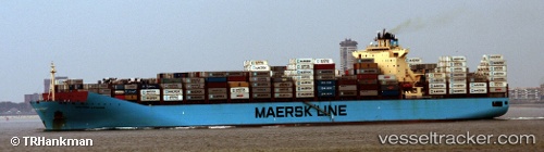
 MAERSK LAGUNA
Current Status
Where is the vessel?
MAERSK LAGUNA is currently in 39 nm NW of PENICHE, based on AIS data received about 14h ago.
Latest AIS update:
Current position: 39.90091° N, 9.83285° W (39 nm NW of PENICHE)
Average speed (last 7 days): Loading…
Average speed (last 30 days): Loading…
Vessel profile: MAERSK LAGUNA is a Container Ship with dimensions m x m.
This page combines live AIS, route history, probable destination signals, nearby traffic, and port activity for practical vessel monitoring.
The current position of vessel MAERSK LAGUNA is 39.90091 lat / -9.83285 lng. Updated: 2026-05-20 01:16:26 UTCNearest reference points:
- Near PENICHE
- Near Nazaré
- 52 nm W of Canas de Santa Maria
Currently sailing under the flag of Denmark ![]()
Details:
Live Vessel MAERSK LAGUNA Analytics (details, animations, etc.)
Recent AIS points (UTC):
2026-05-19 22:12:33 UTC · 39.05400, -9.83980 · SOG 16.6 kn · COG 0°2026-05-19 23:06:38 UTC · 39.30150, -9.84218 · SOG 16.4 kn · COG 2°
2026-05-20 00:13:33 UTC · 39.60931, -9.83786 · SOG 17 kn · COG 1°
2026-05-20 01:16:26 UTC · 39.90091, -9.83285 · SOG 16.6 kn · COG 1°