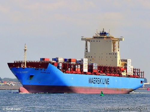
 MAERSK LEON
Current Status
Where is the vessel?
MAERSK LEON is currently in 69 nm NW of Nouadhibou, based on AIS data received about 14h ago.
Latest AIS update:
Current position: 21.55505° N, 17.98910° W (69 nm NW of Nouadhibou)
Average speed (last 7 days): Loading…
Average speed (last 30 days): Loading…
Vessel profile: MAERSK LEON is a Container Ship with dimensions m x m.
This page combines live AIS, route history, probable destination signals, nearby traffic, and port activity for practical vessel monitoring.
The current position of vessel MAERSK LEON is 21.55505 lat / -17.98910 lng. Updated: 2026-05-20 01:54:51 UTCNearest reference points:
- 41 nm NW of Nouadhibou
- Near Nouadhibou
- Near DAKHLA
Currently sailing under the flag of Denmark ![]()
Details:
Live Vessel MAERSK LEON Analytics (details, animations, etc.)
Recent AIS points (UTC):
2026-05-19 23:07:53 UTC · 22.29960, -17.59803 · SOG 17.8 kn · COG 204°2026-05-20 00:09:57 UTC · 22.02060, -17.73789 · SOG 17.8 kn · COG 204°
2026-05-20 01:12:38 UTC · 21.73918, -17.88171 · SOG 17.9 kn · COG 208°
2026-05-20 01:54:51 UTC · 21.55505, -17.98910 · SOG 17.4 kn · COG 205°