 Marco
Marco
Current Status
Where is the vessel?
Marco is currently in 172 nm S of Conflict Group, based on AIS data received about 14h ago.
Latest AIS update:
Current position: 13.65021° S, 151.77145° E (172 nm S of Conflict Group)
Average speed (last 7 days): Loading…
Average speed (last 30 days): Loading…
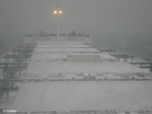
Vessel profile: Marco is a Bulk Carrier with dimensions 225m x 32m.
This page combines live AIS, route history, probable destination signals, nearby traffic, and port activity for practical vessel monitoring.
The current position of vessel Marco is -13.65021 lat / 151.77145 lng. Updated: 2026-05-19 18:27:28 UTCNearest reference points:
- 209 nm N of Coral Sea
Currently sailing under the flag of Liberia ![]()
Marco built in 2009 year
Deadweight:
81393 tDetails:
Live Vessel Marco Analytics (details, animations, etc.)
Recent AIS points (UTC):
2026-05-19 13:51:49 UTC · -14.52638, 151.64291 · SOG 11.7 kn · COG 12°2026-05-19 15:39:36 UTC · -14.18667, 151.69167 · SOG 11 kn · COG -1°
2026-05-19 16:27:33 UTC · -14.03333, 151.71500 · SOG 11 kn · COG -1°
2026-05-19 18:27:28 UTC · -13.65021, 151.77145 · SOG 11.5 kn · COG 11°