 vesseltracker.com
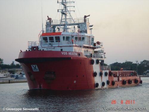
 BOS HESTIA
Current Status
Where is the vessel?
BOS HESTIA is currently in 68 nm E of King Abdullah City, based on AIS data received about 15h ago.
Latest AIS update:
Current position: 22.19700° N, 40.29277° E (68 nm E of King Abdullah City)
Average speed (last 7 days): Loading…
Average speed (last 30 days): Loading…
Vessel profile: BOS HESTIA is a Anchor Handling Vessel with dimensions m x m.
This page combines live AIS, route history, probable destination signals, nearby traffic, and port activity for practical vessel monitoring.
The current position of vessel BOS HESTIA is 22.19700 lat / 40.29277 lng. Updated: 2026-05-17 22:41:45 UTCNearest reference points:
- Near King Abdullah City
- Near King Abdullah
- 14 nm N of Tusdeer Free Zone
Currently sailing under the flag of Tuvalu ![]()
Details:
Live Vessel BOS HESTIA Analytics (details, animations, etc.)
Recent AIS points (UTC):
2026-05-17 18:07:12 UTC · 21.45430, 39.09595 · SOG 0.6 kn · COG 337°2026-05-17 22:41:45 UTC · 22.19700, 40.29277 · SOG 29.6 kn · COG 11°
2026-05-17 22:41:45 UTC · 22.19700, 40.29277 · SOG 29.6 kn · COG 11°
2026-05-17 22:41:45 UTC · 22.19700, 40.29277 · SOG 29.6 kn · COG 11°