 BITU
BITU
Current Status
Where is the vessel?
BITU is currently in 14 nm NW of Marmagao, based on AIS data received about 14h ago.
Latest AIS update:
Current position: 15.54731° N, 73.59453° E (14 nm NW of Marmagao)
Average speed (last 7 days): Loading…
Average speed (last 30 days): Loading…
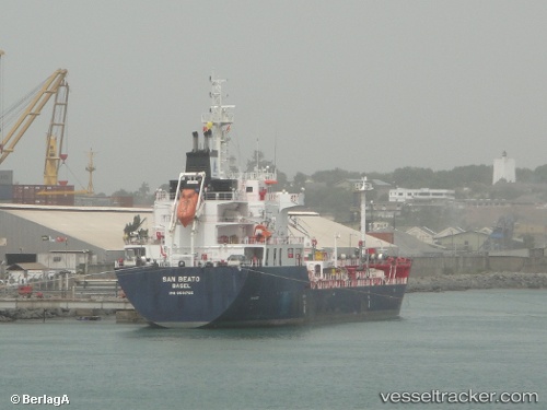
Vessel profile: BITU is a Tanker with dimensions m x m.
This page combines live AIS, route history, probable destination signals, nearby traffic, and port activity for practical vessel monitoring.
The current position of vessel BITU is 15.54731 lat / 73.59453 lng. Updated: 2026-05-21 03:49:19 UTCNearest reference points:
- Near Vasco da Gama
- 49 nm W of Pernem
- 89 nm W of Marmagao (Marmugao)
Currently sailing under the flag of Panama ![]()
Details:
Live Vessel BITU Analytics (details, animations, etc.)
Recent AIS points (UTC):
2026-05-20 23:21:29 UTC · 15.54730, 73.59518 · SOG 0 kn · COG -1°2026-05-21 02:15:48 UTC · 15.54727, 73.59446 · SOG 0.2 kn · COG -1°
2026-05-21 02:36:47 UTC · 15.54725, 73.59445 · SOG 0 kn · COG -1°
2026-05-21 03:49:19 UTC · 15.54731, 73.59453 · SOG 0.1 kn · COG -1°