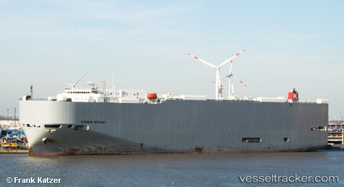
 Durban Highway
Current Status
Where is the vessel?
Durban Highway is currently in 14 nm NE of SAI, based on AIS data received about 14h ago.
Latest AIS update:
Current position: 41.61851° N, 141.04611° E (14 nm NE of SAI)
Average speed (last 7 days): Loading…
Average speed (last 30 days): Loading…
Vessel profile: Durban Highway is a Vehicles Carrier with dimensions 199m x 32m.
This page combines live AIS, route history, probable destination signals, nearby traffic, and port activity for practical vessel monitoring.
The current position of vessel Durban Highway is 41.61851 lat / 141.04611 lng. Updated: 2026-05-23 09:25:37 UTCNearest reference points:
- 23 nm NE of SAI
- 11 nm NW of Yokohama, Aomori
- Near Yokohama, Aomori
Currently sailing under the flag of Panama ![]()
Durban Highway built in 2011 year
Deadweight:
18906 tDetails:
Live Vessel Durban Highway Analytics (details, animations, etc.)
Recent AIS points (UTC):
2026-05-23 06:32:43 UTC · 41.18805, 140.04247 · SOG 16.5 kn · COG 57°2026-05-23 07:08:43 UTC · 41.28533, 140.22951 · SOG 17.6 kn · COG 57°
2026-05-23 08:17:01 UTC · 41.48577, 140.61481 · SOG 18.1 kn · COG 56°
2026-05-23 09:25:37 UTC · 41.61851, 141.04611 · SOG 20.2 kn · COG 93°