 CAPTAIN JOHN
Current Status
Where is the vessel?
CAPTAIN JOHN is currently in Near ZHOUSHAN, based on AIS data received about 16h ago.
Latest AIS update:
Current position: 29.94143° N, 122.24596° E (Near ZHOUSHAN)
Average speed (last 7 days): Loading…
Average speed (last 30 days): Loading…
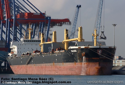
Vessel profile: CAPTAIN JOHN is a Bulk Carrier with dimensions 189m x 190m.
This page combines live AIS, route history, probable destination signals, nearby traffic, and port activity for practical vessel monitoring.
The current position of vessel CAPTAIN JOHN is 29.94143 lat / 122.24596 lng. Updated: 2026-06-15 01:24:26 UTCNearest reference points:
- Near ZHOUSHAN
- Near Majistan/Zhoushan
Currently sailing under the flag of Marshall Islands ![]()
CAPTAIN JOHN built in 2011 year
Deadweight:
56925 tDetails:
Live Vessel CAPTAIN JOHN Analytics (details, animations, etc.)
Recent AIS points (UTC):
2026-06-14 22:30:25 UTC · 29.94142, 122.24596 · SOG 0 kn · COG 102°2026-06-14 23:36:22 UTC · 29.94140, 122.24595 · SOG 0 kn · COG 102°
2026-06-15 01:21:22 UTC · 29.94141, 122.24595 · SOG 0 kn · COG 102°
2026-06-15 01:24:26 UTC · 29.94143, 122.24596 · SOG 0 kn · COG 102°