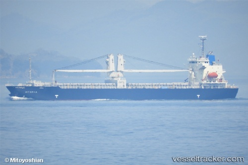
 Istorya
Current Status
Where is the vessel?
Istorya is currently in Near ONAHAMA, based on AIS data received about 16h ago.
Latest AIS update:
Current position: 36.92677° N, 140.87337° E (Near ONAHAMA)
Average speed (last 7 days): Loading…
Average speed (last 30 days): Loading…
Vessel profile: Istorya is a General Cargo Ship with dimensions 120m x 120m.
This page combines live AIS, route history, probable destination signals, nearby traffic, and port activity for practical vessel monitoring.
The current position of vessel Istorya is 36.92677 lat / 140.87337 lng. Updated: 2026-05-19 19:42:32 UTCNearest reference points:
- 18 nm SE of Minamisoma
- 31 nm NE of ONAHAMA
- 32 nm NE of ONAHAMA
Currently sailing under the flag of Philippines ![]()
Istorya built in 2012 year
Deadweight:
12973 tDetails:
Live Vessel Istorya Analytics (details, animations, etc.)
Recent AIS points (UTC):
2026-05-19 16:23:43 UTC · 36.92676, 140.87337 · SOG 0 kn · COG -1°2026-05-19 18:24:43 UTC · 36.92667, 140.87334 · SOG 0 kn · COG -1°
2026-05-19 19:19:04 UTC · 36.92678, 140.87337 · SOG 0 kn · COG -1°
2026-05-19 19:42:32 UTC · 36.92677, 140.87337 · SOG 0 kn · COG -1°