 vesseltracker.com
 LADY SARE
Current Status
Where is the vessel?
LADY SARE is currently in Near DOS BOCAS, based on AIS data received about 1h ago.
Latest AIS update:
Current position: 18.43333° N, 93.20167° W (Near DOS BOCAS)
Average speed (last 7 days): Loading…
Average speed (last 30 days): Loading…
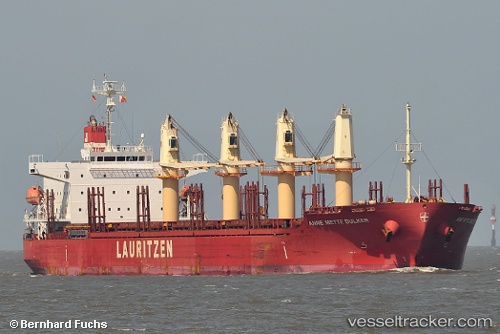
Vessel profile: LADY SARE is a General Cargo Ship with dimensions 31m x 185m.
This page combines live AIS, route history, probable destination signals, nearby traffic, and port activity for practical vessel monitoring.
The current position of vessel LADY SARE is 18.43333 lat / -93.20167 lng. Updated: 2026-05-12 23:46:05 UTCNearest reference points:
- 35 nm S of Yùum K'Ak'Náab
- 18 nm S of Yùum K'Ak'Náab
- Near Coatzacoalcos
Currently sailing under the flag of Marshall Islands ![]()
LADY SARE built in 2012 year
Deadweight:
38118 tDetails:
Live Vessel LADY SARE Analytics (details, animations, etc.)
Recent AIS points (UTC):
2026-05-12 19:54:28 UTC · 18.43338, -93.20208 · SOG 0 kn · COG 32°2026-05-12 21:49:07 UTC · 18.43167, -93.20167 · SOG 0 kn · COG -1°
2026-05-12 23:06:28 UTC · 18.43333, -93.20210 · SOG 0.1 kn · COG 32°
2026-05-12 23:46:05 UTC · 18.43333, -93.20167 · SOG 0 kn · COG -1°