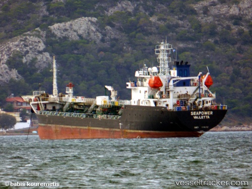
 Seapower
Current Status
Where is the vessel?
Seapower is currently in 34 nm E of Strå, based on AIS data received about 15h ago.
Latest AIS update:
Current position: 57.93555° N, 20.08813° E (34 nm E of Strå)
Average speed (last 7 days): Loading…
Average speed (last 30 days): Loading…
Vessel profile: Seapower is a Bitumen Tanker with dimensions 101m x 101m.
This page combines live AIS, route history, probable destination signals, nearby traffic, and port activity for practical vessel monitoring.
The current position of vessel Seapower is 57.93555 lat / 20.08813 lng. Updated: 2026-07-12 11:57:46 UTCNearest reference points:
- 37 nm W of Vikati Sadam
- Near Ventspils
- 11 nm N of Ventspils
Currently sailing under the flag of Malta ![]()
Details:
Live Vessel Seapower Analytics (details, animations, etc.)
Recent AIS points (UTC):
2026-07-12 08:03:07 UTC · 57.46387, 19.41664 · SOG 9.2 kn · COG 36°2026-07-12 10:21:07 UTC · 57.74297, 19.81233 · SOG 8.9 kn · COG 37°
2026-07-12 10:23:27 UTC · 57.74760, 19.81885 · SOG 8.9 kn · COG 37°
2026-07-12 11:57:46 UTC · 57.93555, 20.08813 · SOG 8.6 kn · COG 36°