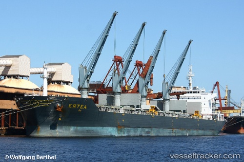
Ertea
Current StatusWhere is the vessel?
Ertea is currently in Near YANGJIANG, based on AIS data received about 14h ago.
Latest AIS update:
Current position: 21.69214° N, 111.82076° E (Near YANGJIANG)
Average speed (last 7 days): Loading…
Average speed (last 30 days): Loading…
Vessel profile: Ertea is a Bulk Carrier with dimensions 32m x 190m.
This page combines live AIS, route history, probable destination signals, nearby traffic, and port activity for practical vessel monitoring.
The current position of vessel Ertea is 21.69214 lat / 111.82076 lng. Updated: 2026-05-22 04:17:56 UTCNearest reference points:
- Near Zhapo
- Near Dongping
- 14 nm W of Hengban
Details:
Live Vessel Ertea Analytics (details, animations, etc.)
Recent AIS points (UTC):
2026-05-22 01:14:56 UTC · 21.69215, 111.82075 · SOG 0 kn · COG 337°2026-05-22 02:26:56 UTC · 21.69214, 111.82072 · SOG 0 kn · COG 337°
2026-05-22 04:11:56 UTC · 21.69218, 111.82077 · SOG 0 kn · COG 337°
2026-05-22 04:17:56 UTC · 21.69214, 111.82076 · SOG 0 kn · COG 337°