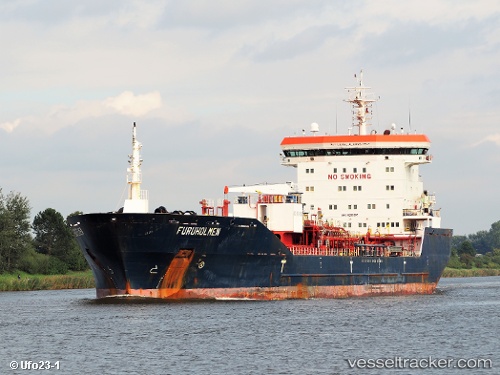
 FURUHOLMEN
Current Status
Where is the vessel?
FURUHOLMEN is currently in 40 nm S of Quintana, based on AIS data received about 22h ago.
Latest AIS update:
Current position: 28.24891° N, 95.28138° W (40 nm S of Quintana)
Average speed (last 7 days): Loading…
Average speed (last 30 days): Loading…
Vessel profile: FURUHOLMEN is a Oil/Chemical Tanker with dimensions m x m.
This page combines live AIS, route history, probable destination signals, nearby traffic, and port activity for practical vessel monitoring.
The current position of vessel FURUHOLMEN is 28.24891 lat / -95.28138 lng. Updated: 2026-07-09 08:06:37 UTCNearest reference points:
- Near Quintana
- 56 nm SE of Quintana
- 63 nm SE of Quintana
Currently sailing under the flag of Portugal ![]()
Details:
Live Vessel FURUHOLMEN Analytics (details, animations, etc.)
Recent AIS points (UTC):
2026-07-09 04:27:04 UTC · 27.81277, -95.91894 · SOG 11.6 kn · COG 57°2026-07-09 06:21:43 UTC · 28.01976, -95.57037 · SOG 11.6 kn · COG 50°
2026-07-09 07:32:37 UTC · 28.17683, -95.37519 · SOG 11.9 kn · COG 50°
2026-07-09 08:06:37 UTC · 28.24891, -95.28138 · SOG 11.6 kn · COG 50°