 vesseltracker.com
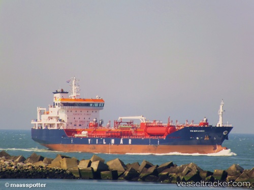
 Ym Miranda
Current Status
Where is the vessel?
Ym Miranda is currently in Near Damietta, based on AIS data received less than 1h ago.
Latest AIS update:
Current position: 31.60514° N, 31.73246° E (Near Damietta)
Average speed (last 7 days): Loading…
Average speed (last 30 days): Loading…
Vessel profile: Ym Miranda is a Chemical Oil Products Tanker with dimensions 135m x 20m.
This page combines live AIS, route history, probable destination signals, nearby traffic, and port activity for practical vessel monitoring.
The current position of vessel Ym Miranda is 31.60514 lat / 31.73246 lng. Updated: 2026-05-15 11:41:19 UTCNearest reference points:
- Near Damietta
- 21 nm N of Port Said
- 15 nm N of Port Said
Currently sailing under the flag of Malta ![]()
Ym Miranda built in 2013 year
Deadweight:
12933 tDetails:
Live Vessel Ym Miranda Analytics (details, animations, etc.)
Recent AIS points (UTC):
2026-05-15 07:53:20 UTC · 31.60566, 31.73268 · SOG 0.4 kn · COG 283°2026-05-15 09:41:19 UTC · 31.60554, 31.73271 · SOG 0.3 kn · COG 298°
2026-05-15 10:26:21 UTC · 31.60542, 31.73267 · SOG 0.2 kn · COG 286°
2026-05-15 11:41:19 UTC · 31.60514, 31.73246 · SOG 0.1 kn · COG 311°