Go Liberty
Current StatusWhere is the vessel?
Go Liberty is currently in 31 nm SE of JUDITH POINT, based on AIS data received about 14h ago.
Latest AIS update:
Current position: 40.92627° N, 71.18837° W (31 nm SE of JUDITH POINT)
Average speed (last 7 days): Loading…
Average speed (last 30 days): Loading…
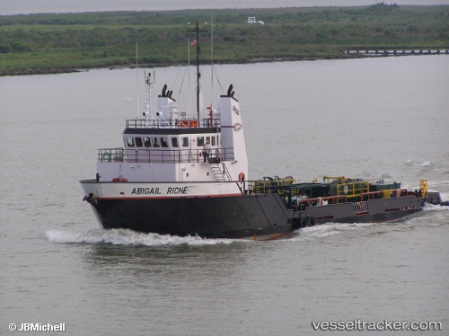
Vessel profile: Go Liberty is a Offshore Tug Supply Ship with dimensions 12m x 46m.
This page combines live AIS, route history, probable destination signals, nearby traffic, and port activity for practical vessel monitoring.
The current position of vessel Go Liberty is 40.92627 lat / -71.18837 lng. Updated: 2026-05-21 04:39:48 UTCNearest reference points:
- Near JUDITH POINT
- 37 nm NE of Offshore Ambrose
- Near Newport
Details:
Live Vessel Go Liberty Analytics (details, animations, etc.)
Recent AIS points (UTC):
2026-05-21 02:01:28 UTC · 41.01116, -71.30304 · SOG 2.8 kn · COG 185°2026-05-21 02:15:47 UTC · 40.99726, -71.30274 · SOG 2.6 kn · COG 186°
2026-05-21 03:42:01 UTC · 40.93745, -71.27608 · SOG 4.2 kn · COG 100°
2026-05-21 04:39:48 UTC · 40.92627, -71.18837 · SOG 4.3 kn · COG 97°