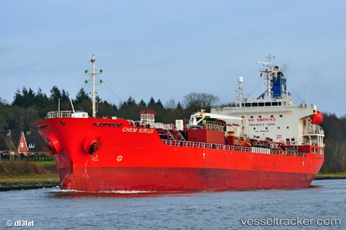
 Chem Sirius
Current Status
Where is the vessel?
Chem Sirius is currently in 68 nm N of Romas, based on AIS data received about 16h ago.
Latest AIS update:
Current position: 46.63370° N, 24.43970° W (68 nm N of Romas)
Average speed (last 7 days): Loading…
Average speed (last 30 days): Loading…
Vessel profile: Chem Sirius is a Chemical Oil Products Tanker with dimensions 146m x 24m.
This page combines live AIS, route history, probable destination signals, nearby traffic, and port activity for practical vessel monitoring.
The current position of vessel Chem Sirius is 46.63370 lat / -24.43970 lng. Updated: 2026-06-04 09:52:07 UTCCurrently sailing under the flag of Liberia ![]()
Chem Sirius built in 2011 year
Deadweight:
19986 tDetails:
Live Vessel Chem Sirius Analytics (details, animations, etc.)
Recent AIS points (UTC):
2026-06-04 07:41:35 UTC · 46.65140, -23.87144 · SOG 10.7 kn · COG 264°2026-06-04 07:41:35 UTC · 46.65140, -23.87144 · SOG 10.7 kn · COG 264°
2026-06-04 09:52:07 UTC · 46.63370, -24.43970 · SOG 11.9 kn · COG 267°
2026-06-04 09:52:07 UTC · 46.63370, -24.43970 · SOG 11.9 kn · COG 267°