 GAS XANADU
Current Status
Where is the vessel?
GAS XANADU is currently in 38 nm NW of Essaouira, based on AIS data received about 15h ago.
Latest AIS update:
Current position: 31.66481° N, 10.18195° W (38 nm NW of Essaouira)
Average speed (last 7 days): Loading…
Average speed (last 30 days): Loading…
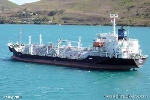
Vessel profile: GAS XANADU is a Lpg Tanker with dimensions m x m.
This page combines live AIS, route history, probable destination signals, nearby traffic, and port activity for practical vessel monitoring.
The current position of vessel GAS XANADU is 31.66481 lat / -10.18195 lng. Updated: 2026-05-20 11:39:22 UTCNearest reference points:
- 64 nm W of Essaouira
- 87 nm W of Essaouira
- 80 nm S of Jarjis
Currently sailing under the flag of Portugal ![]()
Details:
Live Vessel GAS XANADU Analytics (details, animations, etc.)
Recent AIS points (UTC):
2026-05-20 07:25:53 UTC · 32.49459, -10.19142 · SOG 11.3 kn · COG 170°2026-05-20 09:55:33 UTC · 32.01781, -10.17617 · SOG 11.9 kn · COG 175°
2026-05-20 10:33:22 UTC · 31.89182, -10.17868 · SOG 12.3 kn · COG 174°
2026-05-20 11:39:22 UTC · 31.66481, -10.18195 · SOG 12.6 kn · COG 175°