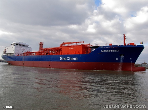
 GASCHEM WERRA
Current Status
Where is the vessel?
GASCHEM WERRA is currently in Near CIWANDAN, based on AIS data received about 14h ago.
Latest AIS update:
Current position: 5.97093° S, 105.94353° E (Near CIWANDAN)
Average speed (last 7 days): Loading…
Average speed (last 30 days): Loading…
Vessel profile: GASCHEM WERRA is a LPG Tanker with dimensions 115m x 16m.
This page combines live AIS, route history, probable destination signals, nearby traffic, and port activity for practical vessel monitoring.
The current position of vessel GASCHEM WERRA is -5.97093 lat / 105.94353 lng. Updated: 2026-05-19 21:25:06 UTCNearest reference points:
- Near CIWANDAN
- Near MERAK
- Near Cigading
Currently sailing under the flag of Liberia ![]()
GASCHEM WERRA built in 2011 year
Deadweight:
7325 tDetails:
Live Vessel GASCHEM WERRA Analytics (details, animations, etc.)
Recent AIS points (UTC):
2026-05-19 18:10:08 UTC · -5.97071, 105.94373 · SOG 0 kn · COG 46°2026-05-19 19:19:07 UTC · -5.97069, 105.94347 · SOG 0.1 kn · COG 23°
2026-05-19 20:16:08 UTC · -5.97081, 105.94350 · SOG 0.1 kn · COG 37°
2026-05-19 21:25:06 UTC · -5.97093, 105.94353 · SOG 0.1 kn · COG 39°