 Sea Unity
Current Status
Where is the vessel?
Sea Unity is currently in Near Changi, based on AIS data received about 14h ago.
Latest AIS update:
Current position: 1.30391° N, 103.96313° E (Near Changi)
Average speed (last 7 days): Loading…
Average speed (last 30 days): Loading…
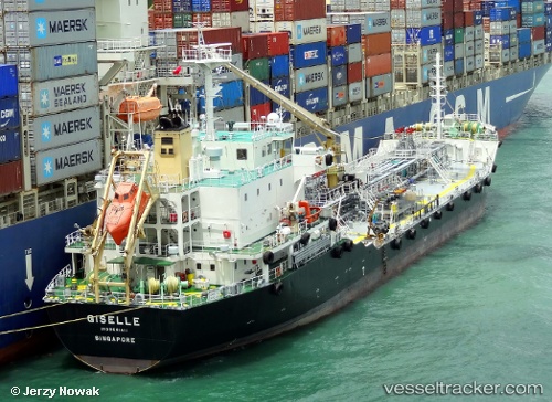
Vessel profile: Sea Unity is a Oil Products Tanker with dimensions 107m x 17m.
This page combines live AIS, route history, probable destination signals, nearby traffic, and port activity for practical vessel monitoring.
The current position of vessel Sea Unity is 1.30391 lat / 103.96313 lng. Updated: 2026-05-24 14:06:42 UTCNearest reference points:
- Near Tampines
- Near Changi
- Near TANAH MERAH
Currently sailing under the flag of Singapore ![]()
Sea Unity built in 2009 year
Deadweight:
9106 tDetails:
Live Vessel Sea Unity Analytics (details, animations, etc.)
Recent AIS points (UTC):
2026-05-24 10:24:41 UTC · 1.30396, 103.96305 · SOG 0 kn · COG 73°2026-05-24 12:21:44 UTC · 1.30395, 103.96308 · SOG 0 kn · COG 69°
2026-05-24 13:16:32 UTC · 1.30333, 103.96167 · SOG 0 kn · COG -1°
2026-05-24 14:06:42 UTC · 1.30391, 103.96313 · SOG 0 kn · COG 63°