 SAI FORTUNE
Current Status
Where is the vessel?
SAI FORTUNE is currently in Near Hulaylah Terminal, based on AIS data received about 14h ago.
Latest AIS update:
Current position: 26.10941° N, 55.89537° E (Near Hulaylah Terminal)
Average speed (last 7 days): Loading…
Average speed (last 30 days): Loading…
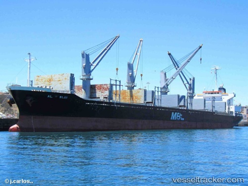
Vessel profile: SAI FORTUNE is a Bulk Carrier with dimensions m x m.
This page combines live AIS, route history, probable destination signals, nearby traffic, and port activity for practical vessel monitoring.
The current position of vessel SAI FORTUNE is 26.10941 lat / 55.89537 lng. Updated: 2026-06-22 19:02:06 UTCNearest reference points:
- Near Hulaylah Terminal
- 13 nm NW of Hulaylah Terminal
- Near Stevin Rock
Currently sailing under the flag of Marshall Islands ![]()
Details:
Live Vessel SAI FORTUNE Analytics (details, animations, etc.)
Recent AIS points (UTC):
2026-06-22 16:15:21 UTC · 26.10849, 55.89311 · SOG 0 kn · COG 120°2026-06-22 16:24:17 UTC · 26.10842, 55.89317 · SOG 0 kn · COG 125°
2026-06-22 17:21:19 UTC · 26.10877, 55.89334 · SOG 0.2 kn · COG 129°
2026-06-22 19:02:06 UTC · 26.10941, 55.89537 · SOG 0.1 kn · COG 198°