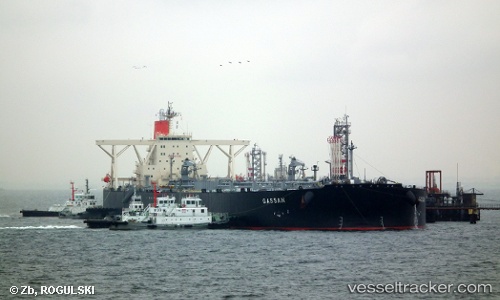
 GASSAN
Current Status
Where is the vessel?
GASSAN is currently in 13 nm E of Açu Pt/São João da Barra, based on AIS data received about 14h ago.
Latest AIS update:
Current position: 21.81119° S, 40.76689° W (13 nm E of Açu Pt/São João da Barra)
Average speed (last 7 days): Loading…
Average speed (last 30 days): Loading…
Vessel profile: GASSAN is a Crude Oil Tanker with dimensions m x m.
This page combines live AIS, route history, probable destination signals, nearby traffic, and port activity for practical vessel monitoring.
The current position of vessel GASSAN is -21.81119 lat / -40.76689 lng. Updated: 2026-06-13 02:45:45 UTCNearest reference points:
- Near PORTO DO ACU
- 24 nm SE of Carapebus
- Near Capixaba FPSO
Currently sailing under the flag of Panama ![]()
Details:
Live Vessel GASSAN Analytics (details, animations, etc.)
Recent AIS points (UTC):
2026-06-12 23:15:43 UTC · -21.81085, -40.76764 · SOG 0.1 kn · COG 32°2026-06-12 23:57:47 UTC · -21.81080, -40.76762 · SOG 0.1 kn · COG 35°
2026-06-13 01:30:46 UTC · -21.81095, -40.76745 · SOG 0.1 kn · COG 28°
2026-06-13 02:45:45 UTC · -21.81119, -40.76689 · SOG 0.1 kn · COG 21°