 Maera
Maera
Current Status
Where is the vessel?
Maera is currently in 106 nm E of KIJANG, based on AIS data received about 14h ago.
Latest AIS update:
Current position: 0.25167° N, 106.26333° E (106 nm E of KIJANG)
Average speed (last 7 days): Loading…
Average speed (last 30 days): Loading…
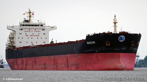
Vessel profile: Maera is a Bulk Carrier with dimensions 225m x 225m.
This page combines live AIS, route history, probable destination signals, nearby traffic, and port activity for practical vessel monitoring.
The current position of vessel Maera is 0.25167 lat / 106.26333 lng. Updated: 2026-05-27 05:35:53 UTCNearest reference points:
- 69 nm NE of Exspan
- 76 nm NE of KIJANG
- 38 nm E of PENGERANG
Currently sailing under the flag of Marshall Is ![]()
Maera built in 2013 year
Deadweight:
76000 tDetails:
Live Vessel Maera Analytics (details, animations, etc.)
Recent AIS points (UTC):
2026-05-27 01:50:55 UTC · -0.22167, 106.72500 · SOG 10 kn · COG -1°2026-05-27 04:20:52 UTC · 0.09166, 106.41833 · SOG 10 kn · COG -1°
2026-05-27 04:26:52 UTC · 0.10333, 106.40667 · SOG 10 kn · COG -1°
2026-05-27 05:35:53 UTC · 0.25167, 106.26333 · SOG 11 kn · COG -1°