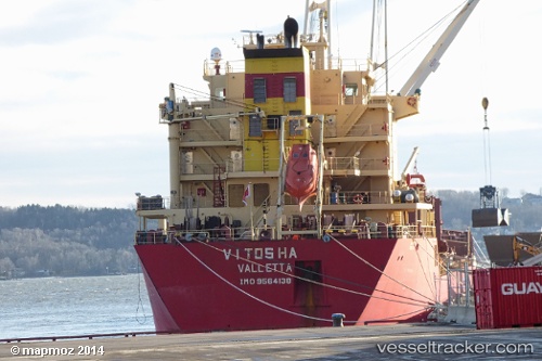
Vitosha
Current StatusWhere is the vessel?
Vitosha is currently in 276 nm NE of Windermere, based on AIS data received about 14h ago.
Latest AIS update:
Current position: 31.75667° S, 13.68500° W (276 nm NE of Windermere)
Average speed (last 7 days): Loading…
Average speed (last 30 days): Loading…
Vessel profile: Vitosha is a Bulk Carrier with dimensions 24m x 186m.
This page combines live AIS, route history, probable destination signals, nearby traffic, and port activity for practical vessel monitoring.
The current position of vessel Vitosha is -31.75667 lat / -13.68500 lng. Updated: 2026-05-21 01:55:50 UTCNearest reference points:
- Open sea, approx. 400 nm off the nearest listed port
- Open sea, approx. 401 nm off the nearest listed port
- Open sea, approx. 402 nm off the nearest listed port
Details:
Live Vessel Vitosha Analytics (details, animations, etc.)
Recent AIS points (UTC):
2026-05-20 22:13:05 UTC · -31.94282, -13.09142 · SOG 9.1 kn · COG 288°2026-05-21 00:14:57 UTC · -31.84051, -13.42680 · SOG 8.7 kn · COG 289°
2026-05-21 01:08:46 UTC · -31.79801, -13.56960 · SOG 8.3 kn · COG 292°
2026-05-21 01:55:50 UTC · -31.75667, -13.68500 · SOG 7 kn · COG -1°